for various applications: the agricultural in-
dustry can use it to see where irrigation is
required or survey the fields; infrastructure
like bridges can be monitored and inspect-
ed for safety; in forestry, the best trees
available for cutting can be identified.
The same technology used on Mars and
the moon for obstacle avoidance are now
being applied to Earth-bound vehicles.
NGC is equipping UAVs with on-board
intelligence, a ‘sense and avoid’ system
that perceives the environment around
the UAV and ensures that it does not col-
lide with the object that it is surveying. An
electronic bumper is created; if the opera-
tor either accidentally or voluntarily brings
the drone too close to an obstacle, this in-
visible bumper overrides the manual com-
mands.
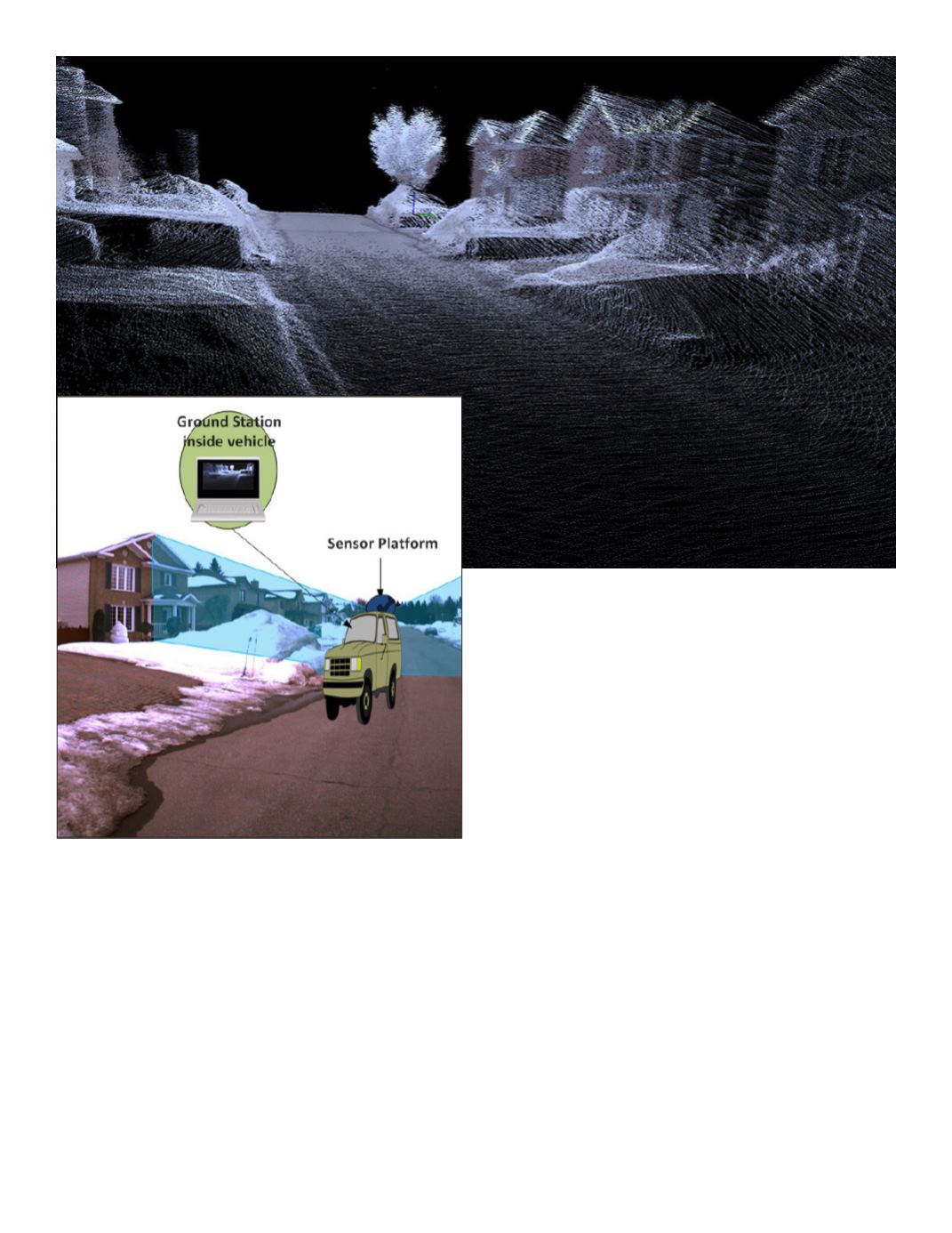
An add-on feature to UAVs is the three-
dimensional mapping system that NGC
has developed. “A drone plus a mapping
system, I think, makes a very neat combi-
nation,” Dr. de Lafontaine said. The recon-
structions reflect the real thing in shape,
colour and texture. GPS coordinates are
incorporated into the three-dimensional
computer images, so that measurements
and volume assessment can be taken with
a mouse.
100 business elite canada
H
SEPTEMBER 2016


